Muddy ice in Minas Basin
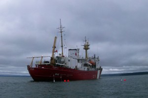
In June 2013, researchers from DFO (BIO), Dalhousie, and Acadia sailed on the CCGS Hudson to do some science. During the cruise, we deployed twelve sediment-laden ice blocks in Minas Basin to assess melt rates and observe drift. This work is part of a larger project aiming to survey the occurrence of sediment-laden and occasionally negatively buoyant ice blocks forming in tidal river estuaries of the upper Bay of Fundy. Melt rate and transport are of concern for assessing risk of collision with bottom-mounted tidal turbines.
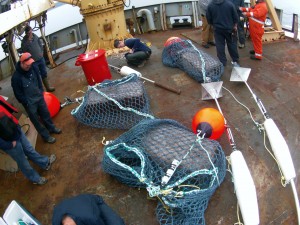
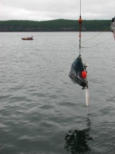
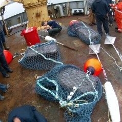
The sediment-laden ice blocks were rectangular and approximately 1 x 0.4 x 0.25 m in size. The ice blocks were free of air bubbles and each contained enough Bay of Fundy mud to make the ice blocks slightly more dense than seawater. On average, each ice block weighed 135-140 kg and contained about 27 kg of dried mud. The ice blocks were contained within netting just below the surface and instrumented with GPS loggers, PT sensors (above and below), and an HD video camera.2
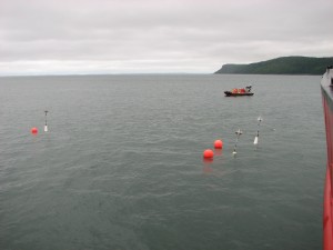
The sediment-laden ice blocks were deployed in sets of three. The location and timing within the tidal cycle of each deployment was varied. The ice blocks were deployed in the Minas Passage near or immediately after low water, in Cobequid Bay on the ebb, and in the middle of the basin on the flood.
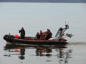
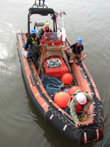
During the deployments, a small boat was used to monitor each ice block drifter. A frame instrumented with another HD video camera and scaling lasers was lowered next to each ice block periodically during the melt. Melt rate will be estimated based on recorded changes in ice block size and compared with model results.

